
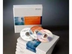
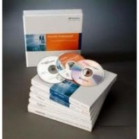

MapInfo Professional v12.0
Gambar Produk
MapInfo Professional v12.0
Brand
Professional v12.0
Minimum Pembelian
1 Unit
Maximum Pembelian
1 Unit
Pengiriman
1 Hari Setelah Pembayaran
Lokasi
Harga
Rp. 28
Dilihat Sebanyak
374 kali
Update Terakhir
26-07-2013
Bagikan
+ Penawaran
Perhatian!
Perusahaan ini terdaftar sebagai Free Member. Hindari melakukan pembayaran sebelum bertemu penjual atau melihat barang secara langsung. COD (Cash On Delivery) atau bertemu langsung dengan penjual merupakan metode transaksi lebih aman.
Spesifikasi MapInfo Professional v12.0
jual Software MapInfo Professional V12.0
Data access
MapInfo Professional V11.0 provides built-in support to access and view a variety of data formats directly. This means you will be able to view your Microsoft Excel® , Microsoft Access® or database data, such as Oracle® , Microsoft® SQL Server as well as many other file formats, directly out of the box. You can also view images of virtually any format. This capability ensures that MapInfo Professional will fit into your current IT structure directly with no additional cost.
Data creation & editing
MapInfo Professional V12.0 provides many CAD data creation and editing tools as well as the ability to edit your tabular data such as values and names. This means you don’ t have to switch between applications. Make all your changes for maps and data in one application and save time and effort.
Display
Thematic Map
Map display options are one of the great strengths of MapInfo Professional. You can instantly shade/ change style or mark territories ( using any symbol, graduated symbols, charts or graphs) , boundaries, highways, fiber lines or points based on any tabular data values through a simple wizard. You can also aggregate values using statistical or any math functions to associate a symbol or a color to a point or a region based on a calculated value. For example, shade the sales territories based on number of customers. Trends based on geography reveal themselves, patterns become clear and better decisions with impact are imminent.
Data & map publishing
Sharing your results in industry formats is often as critical as the information itself. In today' s IT environment, the need to have multiple publishing options is critical to meaningful communication between applications. MapInfo Professional provides a spectrum of options for this purpose. From the ability to export data to any format, to publishing large maps with legends and charts, MapInfo Professional seamlessly integrates across applications. In addition, MapInfo Professional is Web-enabled. Publish static or interactive maps through easy-to-use wizards. Share the results in a format that best fits your needs.
Our products are designed to work within a wide variety of existing technical environments.
MapInfo Professional V12 Supported Operating Systems:
Windows® XP Professional SP3 ( 32 bit)
Windows® 2008 Server SP2 ( 32 bit)
Windows® 2008 R2 SP1
Windows® 2008 Server SP2 with XenServer 6.0
Windows® 7 Ultimate SP1
Windows® 7 Ultimate 64-bit SP1 with 32-bit compatibility mode
MapInfo Professional V11.0 Supported Databases:
XY – i.e. Databases that store point data as X & Y numeric columns:
Microsoft Access 2007, 2010
Microsoft SQL Server 2005
Microsoft SQL Server 2008 XY on a spatialized DB
Oracle Spatial 10Gr2, 11Gr2
PostgreSQL 9.0 with PostGIS 1.5.2
Spatial – Databases that store map data as objects including: points lines and regions
SQL Server 2005 with SpatialWare 4.9
SQL Server 2008
Oracle Spatial 11Gr2, 10Gr2.
PostgreSQL 9.0 with PostGIS 1.5.2
MS Office Data Types:
MS Office 2010 – MS Excel ( .XLS) & MS Access ( .MDB)
MS Office 2007 – MS Excel ( .XLSX) and MS Access ( .MCCDB)
MapInfo Professional V12.0 Supported Languages:
English
French
German
Italian
Spanish
Danish
Finnish
Japanese
Si mplified Chinese
Swedish
Dutch
Czech
Hebrew
Korean
Polish
Brazilian Portuguese
Russian
Turkish
PT.Geosurveying
PT.GEOSURVEYING
GEOSURVEYING INTRUMENTS SOLUTION
LEADER FOR MAKE IT BETTER
PT.GIS GLOBAL Adalah sebuah usaha yang bergerak dalam bidang pengadaan GPS, Surveying Instruments, Geology Equipment, Safety Equipment, Marine Equipment, Radio Communication & Satellite Devices, dengan berbagai alat seperti : GPS, Total station , Theodolite, Automatic Level/ Waterpass, Compass, Altimeter, Clinometer, Distometer and Geology Tools, Safety Tools Insudtry, communication and satelite Devices
Dengan pengalaman dan Sumber Daya Manusia yang handal, Kami memberikan pelayaan yang tepat guna, kami juga mengembangkan unit usaha Jasa Pelatihan / Training aplikasi GPS dan Survey. Berpijak dari pengalaman tersebut kami berkomitmen untuk memberikan solusi terbaik dalam penerapan produk dan service yang dimiliki kepada semua mitra supaya bisa memberikan manfaat besar dalam meningkatkan kualitas dan kemampuan menjalankan bisnis dan usahanya.
VISI
Tumbuh selaras, andal dan terpercaya dalam melakukan inovasi, distribusi, dan lokalisasi suku cadang baik pada program perawatan GPS dan Surveying Instruments. Maupun dukungan pada waktu pengiriman yang baik dan cepat, serta memberikan kualitas dan solusi terbaik secara profesional kepada setiap mitra bisnis.
MISI
Menjadi mitra yang efisien dan efektif, serta berkembang terus meningkatkan kualitas pelayanan yang prima sehingga tercapai kepuasan pelanggan. Untuk mencapai tekad visi dan misi tersebut team dan segenap manajemenPT.GIS GLOBAL selalu mencoba melakukan pembenahan , pembaharuan dan pembelajaran terhadap pengetahuan teknologi GPS dan Surveying, dari mulai infrastruktur, pelayanan dan SDM. Supaya bisa menjadi mitra yang terpercaya baik dalam perusahaan skala regional, nasional dan internasional.
PRODUCT :
GPS Navigation Basic Handheld, Mapping Handheld, Automotive, Marine, Aviation, Accessories Gps
GPS Mapping, GIS GPS Trimble, GPS Magellan
GPS Geodetik L1 Frequency, L1 & L2 (RTK)
Surveying Instruments Total Station, Auto Level / Waterpass, Digital Theodolite
Suunto Products Compass, Altimeter, Clinometer, Tandem (Clino + Compas)
Geologist Tools Geologist hammer, Rain Gauge, lup Rouper, Sample bag
Other Survey Tools Distometer, Rangefinder, Planimeter, Safety Tool, Distometer Bosch
GPS Tracking Corporate, Personal
Binocular, Teropong Steiner, Bushnell, Nikon, Leica, Tasco
Radio Komunikasi HT (Handy Talky), RIG, Repeater, Motorola, Yeasu, Icom, Alinco, weierwei
Alat Telekomunikasi Ber Tester, Power Meter, Laser Source
Komunikasi Satelit Jaringan Satelit, Sistem Satelit Komunikasi,inmarsat, Byru, Ericcson, Thuraya
Marine Rubber Boat, Banana Boat, Mesin tempel, Zebec, Avon, Explorer, Basemarine
safetyFire Extinguisher, Pemadam Api Gunnebo, Yamato, Servo.
Alat Barat. Excavator. Khobelco.Traktor.Bomag.Vibro.
Demikianlah sekelumit tentang kami
dan anda bisa hub kami 082148955545
Alat Barat. Excavator. Khobelco.Traktor.Bomag.Vibro.
Demikianlah sekelumit tentang kami
dan anda bisa hub kami 082148955545

Free Member
Jl.Pejuangan Mawar III.15A Kebon Jeruk jakarta barat
Login Terakhir 16-08-2013
082148955545
082148955545


Produk Lainnya


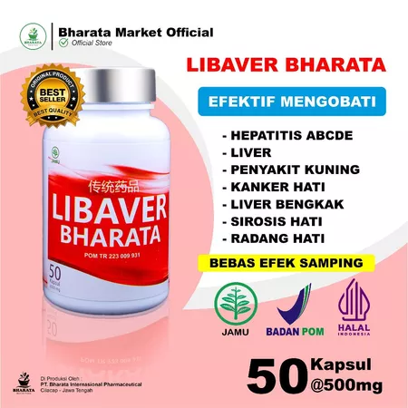
Obat Liver / Hepatitis A B C D E Pal
Rp. 275.000
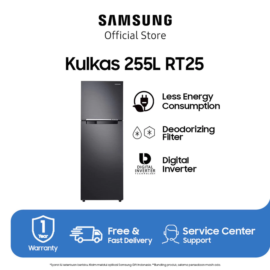
Samsung Kulkas 2 Pintu Smart Exclusi
Rp. 5.250.000
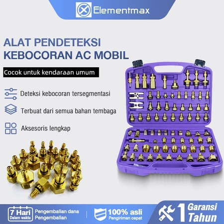
Alat Deteksi Kebocoran AC Mobil Cek
Rp. 351.000
(Promo) Solar Panel Maysun 120Wp Mon
CALL

Karpet Lantai Di pantai! 3 UK 100x15
Rp. 95.000
